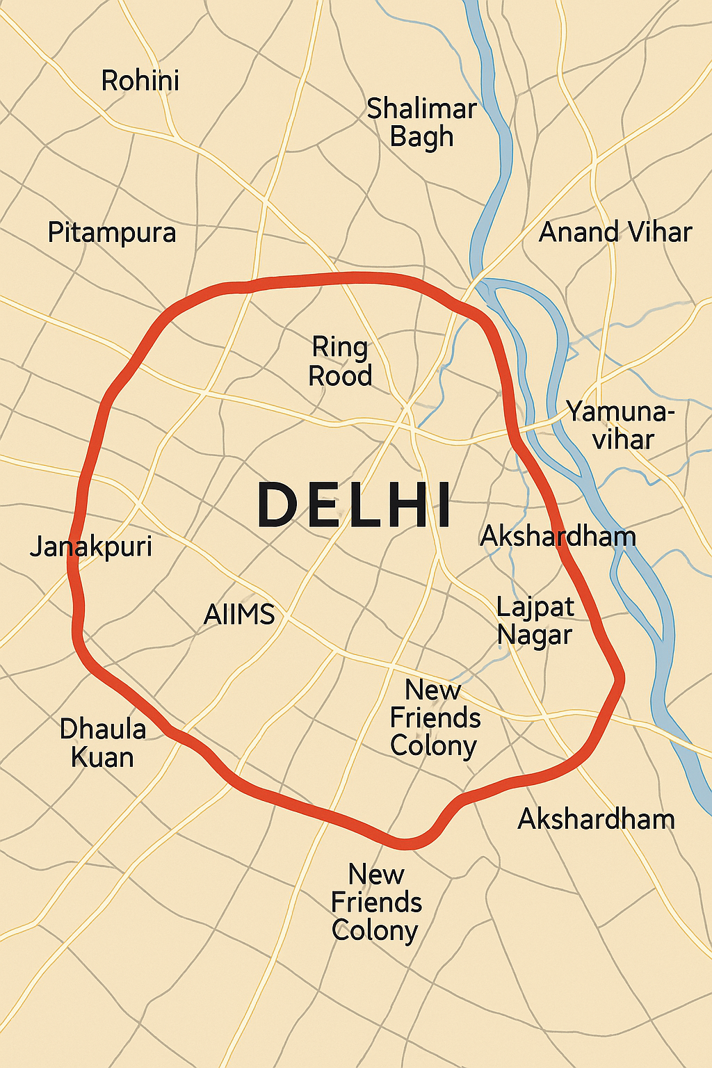
In a landmark infrastructure push, Delhi is all set to get its second major toll road after the DND Flyway – a massive 80-kilometer elevated corridor that promises to reshape urban mobility, eliminate red-light stoppages, and significantly cut down traffic congestion across the capital. Designed to be constructed above the city’s existing Ring Road, this elevated stretch will operate on a dual-system model—offering both free and toll-based options for commuters.
Why This Project Matters
With Delhi’s population crossing 30 million, traffic congestion has become a daily nightmare—particularly along the Inner Ring Road, which was originally built in the 1950s as a bypass for through-traffic when the city had barely 3 million residents. Today, that same road is choked with local traffic, commercial vehicles, and office rush, turning vital junctions into traffic hotspots.
Places like Punjabi Bagh, South Extension, Lajpat Nagar, Ashram, AIIMS, Dhaula Kuan, ITO have become gridlock zones despite the presence of flyovers and underpasses. A 2024 Delhi Traffic Police survey identified 12 of the city’s 134 traffic hotspots to be located on the Ring Road and Outer Ring Road alone.
To tackle this, the Delhi Public Works Department (PWD) has launched an ambitious initiative to build an elevated corridor that offers fast, signal-free travel for those willing to pay a premium toll—while retaining the existing ground-level roads as free alternatives.
🔧 Project Highlights:
-
Length: ~80 kilometers
-
Location: Elevated above Delhi’s Ring Road
-
Estimated Cost: ₹5,500–6,000 crore
-
Cost per KM: ~₹100 crore
-
Execution Authority: Delhi PWD
-
Current Status: Consultant appointment in progress; DPR (Detailed Project Report) under preparation
The ‘Dual-System’ Model
In a bold move, the government plans to implement a dual-system infrastructure. Here’s how it works:
-
Option 1: Continue using the existing free roads at ground level
-
Option 2: Choose the elevated premium corridor, pay a toll, and enjoy faster, signal-free commuting
A senior PWD official explained that this system mirrors the DND Flyway model, where commuters can either pay to use the smooth, fast route or take alternative city roads for free.
Enhanced Connectivity
Though the Inner Ring Road itself is approximately 55 km long, the elevated road will extend up to 80 km. Why the extra length? The corridor will feature multiple ramps, loops, and link roads to improve connectivity with key areas across the city and reduce pressure on local intersections.
This elevated stretch is expected to create seamless east-west and north-south movement, reducing choke points and travel times drastically. It will especially benefit areas like Shalimar Bagh, Azadpur, Ashram, Dhaula Kuan, and AIIMS, which currently suffer from perpetual congestion.
What’s Next?
The project is currently in the planning and feasibility stage. The PWD has initiated the appointment of a technical consultant, who will assist in preparing the DPR and developing the toll model. The toll system will also ensure long-term maintenance funding for the elevated road—avoiding reliance on annual budgets.
Delhi PWD Minister Parvesh Verma confirmed that fast-track steps are being taken to move this project forward, and added that this initiative is part of a larger city-wide traffic decongestion strategy.
Long-Term Impact
If completed on schedule and with quality execution, the elevated corridor is expected to:
-
Drastically reduce traffic congestion on the Ring Road
-
Improve travel speed and commuter experience
-
Lower vehicle emissions and fuel waste
-
Encourage private vehicle owners to use premium corridors
-
Free up ground-level roads for local and emergency traffic
This project not only offers an engineering solution but also marks a policy shift—from free infrastructure to value-based premium transport services, balancing access with convenience.
A Roadmap for the Future
More than just an infrastructure upgrade, this project lays the foundation for a modern, multimodal urban transport system in Delhi. By offering choice-based commuting, it respects both affordability and efficiency. If successful, it could become a model for other metros grappling with the urban mobility crisis.
In short: A faster, smarter, and more sustainable Delhi may just be a few years away—paved by this 80-km elevated lifeline in the skies above the city.


